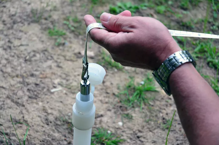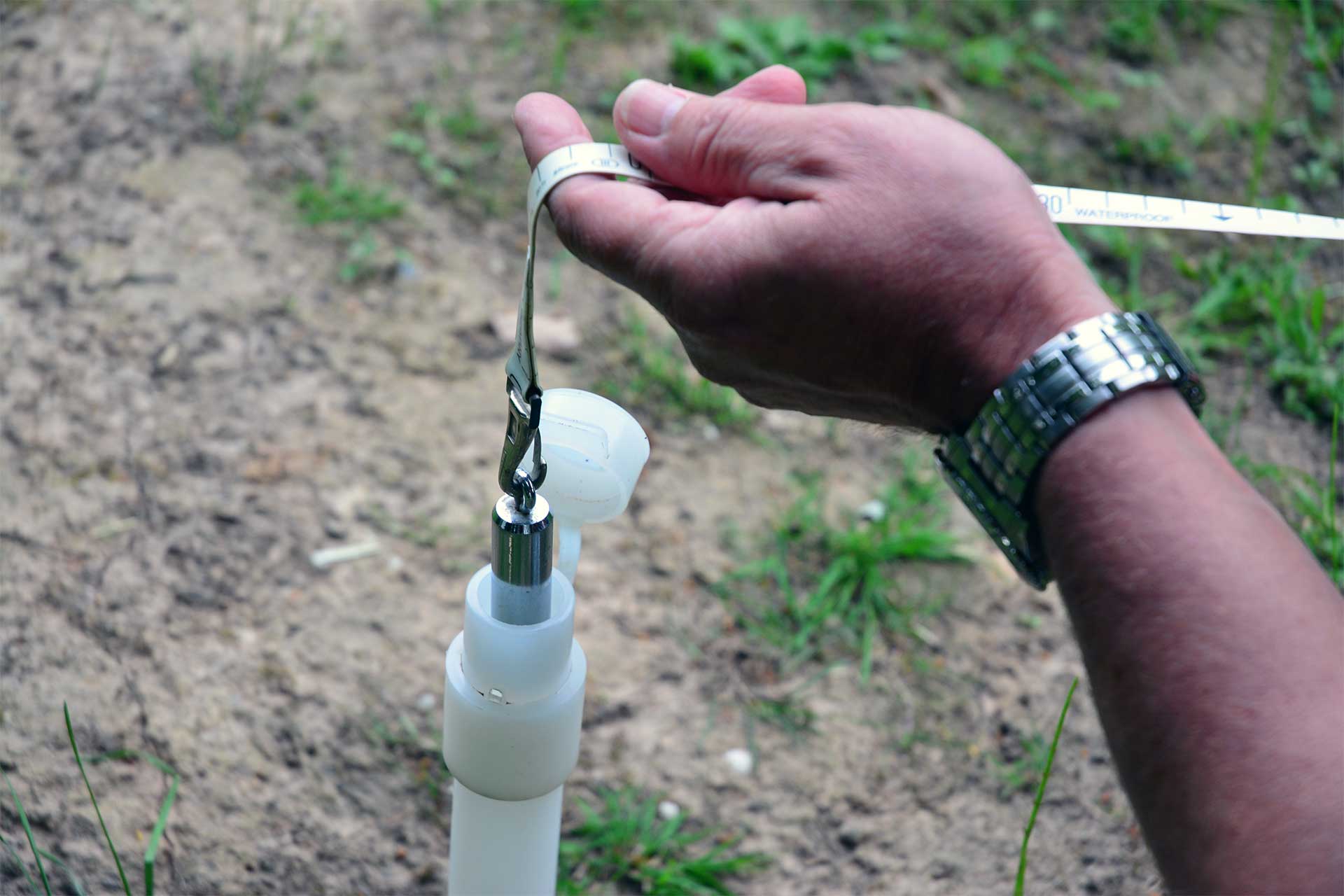

Water level is measured in both surface water and groundwater. The measurements provide input for hydrological models and insight into the amount of water available, but also how it fluctuates. A difference in water levels in the surface water between two places will mean that the water will flow. The degree of the difference determines flow direction and speed.

Mapping the current state of the water level can also have more practical reasons, for example to determine how the water level compares to homes or a target level. For direct measurements in the field, the water level meters are a simple and user-friendly option.
When real-time data about the water level is needed, a (ground)water measuring network with monitoring wells offers a solution. With the help of Diver water level loggers, modems and a data platform you can quickly get a grip on the water resources. But also for temporary jobs, such as construction work where the groundwater level is kept artificially low with the help of pumps, continuous insight thanks to monitoring can be valuable.
Finally, responsible (ground)water use is preferably based on availability. Before an amount of water is used for industrial processes, irrigation or drinking water, it is first important to map out how much there is and how much can be extracted without consequences for nature and infrastructure.